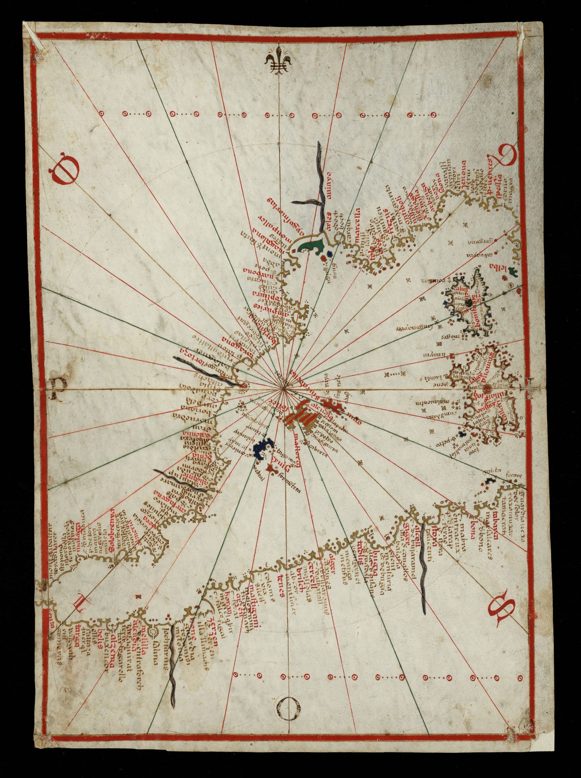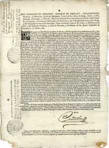
Royal Decree of 1762
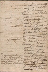
Instructions and dispatches from the king to Manuel de Sentmenat Oms de Santapau and de Lanuza, ambassador to the court of France. 1700-1703
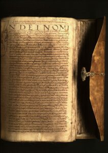
Sale of the jurisdiction of Torredembarra by Charles I of Spain to Lluís d’Icart, lord of Torredembarra
Miquel Montserrat Grau, honored citizen of Barcelona, against Magdalena Terré, widow of the late Joaquim Terré and d’Icart. 19.12.1594 – 29.05.1602
privilege
Contract for the opening of a hardware store in Mollerussa
Copy of the deed of perpetual sale of the mostaçaferia office of the town of Berga in favor of the municipality and university of the town
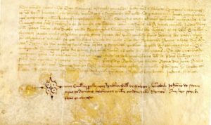
Ordination of the Poboleda wine brokerage
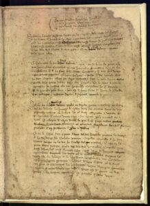
Chapters of the altarpiece of Our Lady of the Councillors
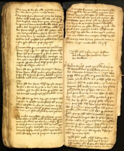
Notarial contract for the construction of the first organ in the parish of Arbeca (Archbishopric of Tarragona), signed by the rector of Les Borges Blanques (Diocese of Lleida)
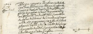
Expenses for the participation of the dragon of the city of Manresa in the thanksgiving procession for the capture of the city of Buda
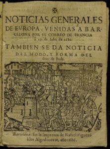
General news from Europe sent to Barcelona by the Correo de France
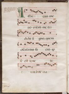
Page of the 16th century antiphonary of the monastery of Sant Pere de les Puel·les with instructions on the singing and the intervention of the singing nuns
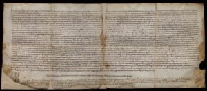
Notarial deed of compliance with the guardianship of the arbitral award between La Pobla de Massaluca and Vilalba dels Arcs
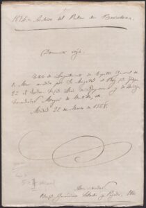
Title of lieutenant of captain general of the sea granted by Felipe II to Lluís de Requesens i Zúñiga, commander-in-chief of Castile and ambassador in Rome (22/3/1568)
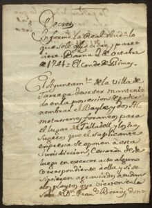
Decree of the Royal Court of Barcelona on the competences of the Tàrrega City Council in appointing the Batlle and two Mostassass for the place of Talladell
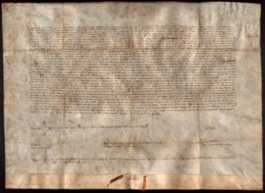
Privilege of King John I of 1395
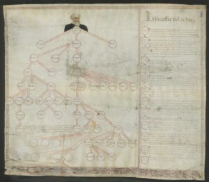
Genealogical tree of the Santcliment lineage
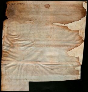
Sale of two pieces of land in Collblanc
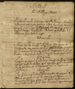
Dietary book of memories, referring to the acts practiced by Mr. D. Pablo Ignacio de Dalmases y de Ros as ambassador sent by the Catalan Courts to England, during the time of the War of Succession
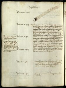
Triennium diary of the deputies of the General of Catalonia Nicolau Pujades, Marc Desllor and Jaume Francesc de Santceloni.
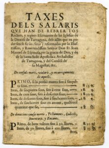
Printed with the fees to be collected by rectors and regents of the offices of the diocese of Tarragona for their performance as notaries, approved by Joan Manuel de Espinosa, archbishop of Tarragona
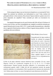
Book of Juhí de Prohoms from the town of Reus
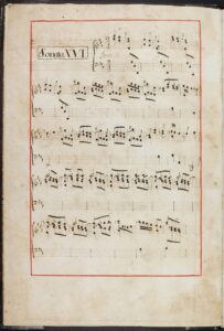
Sonata, for harpsichord / by Mr. Dn. Domenico Scarlatti, &.
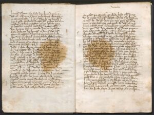
Copyist of the letters of Joan of Aragon as lieutenant of Catalonia. “Register of letters from the count of Ribagorza” or “Register of the letters that the lord count has sent to the king our lord and other things concerning the real estate” (15.11.1496 – 12.01.1499)
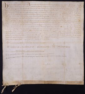
Chronicle of the monastery of Sant Pere de les Puel·les
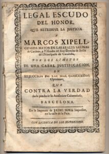
Process related to the person of Marc Xipell, chief guard of the Salinas de Cardona, and to “the copious gangs of armed, scheming people, who, without respect for the troops and the ministers of security, entered at night to steal considerable portions of salt from the Salinas de Cardona”.
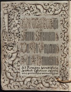
Original bull and transsumpt of the union made by the priory of Sant Genís de Bellera to the monastery of Lavaix by Pope Benedict XIV
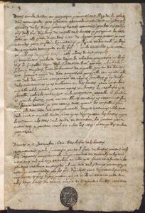
‘Diary of the Board of Arms of Catalonia’ (1640-1641)
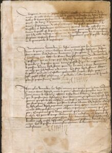
Capitulations signed between Galceran Galceran de Pinós and de Fenollet, viscount of Illa i Canet, and the French governor of Roussillon and Cerdanya and lieutenant general of the King of France in the Principality of Catalonia, Tanguy del Castell
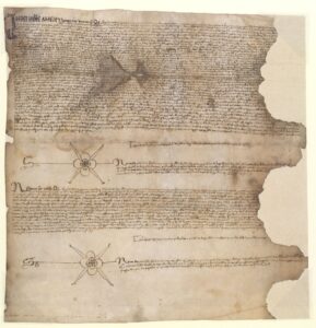
The town of Borges Blanques creates a census in favor of Gabriel Ballestar, from Artesa de Lleida
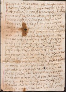
Correspondence between Estefania de Requesens i Roís de Liori and her mother Hipòlita Roís de Liori i de Montcada, countess of Palamós (1533-1541)
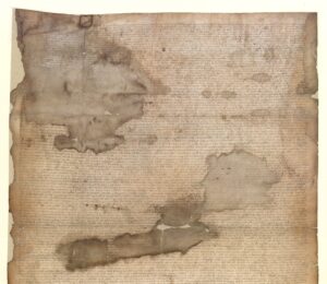
The town of Albi creates a census in favor of Gerard de Basquerà, from Falset
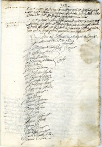
Plenary of the Puigcerdà Council on the Treaty of the Pyrenees
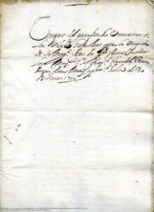
Accounts of the expenses incurred by the arrival of Archduke Charles of Austria to Granollers on January 30, 1710
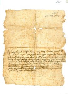
Capbreu d’onofre Rialp 14/12/1574 where Miquel Seguer confesses a piece of land located in the parish of Santa Perpètua in the place called Coll de Mollet belonging to Mas Gelabert alias Bou en Alou de Montalegre.
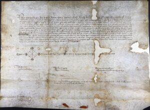
Privilege of Martí l’Humà in which he grants, in perpetuity, the right of free passage through the places and towns of l’Arboç and Vilafranca del Penedès to the prohoms and the inhabitants of the castle and the district of Banyeres del Penedès.
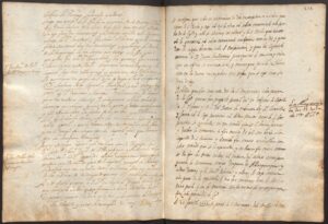
Specimens from the Cathedral of Barcelona Vol.3
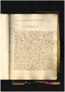
The community of nuns of the monastery of Sant Pere de les Puel·les, gathered in chapter in the chapter house of the monastery, chooses Mrs. Agnès de Corbera as the new abbess
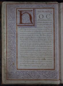
green book
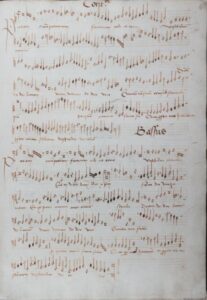
Manuscript 5
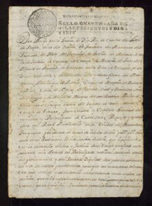
New Plant Decree of the Court of the Principality of Catalonia.
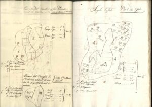
Balenyà register
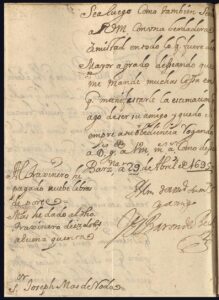
“Papers of don Joseph and don Miguel Mas and of Regàs, father and son, colonels both of Spanish infantry for his majesty”. 1695-1711.
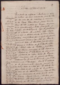
Establishments of the village of Mas de Barberans which was called Villa de Santa Maria in the past
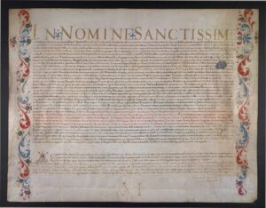
Certificate of the Roman Court authenticating relics
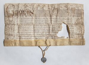
Bull of Pope Gregory XIII to the community of priests of Santa Maria de Castelló d’Empúries.
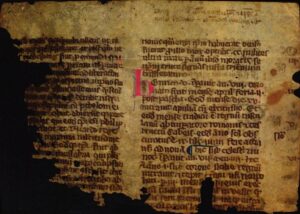
Fragment of a chronicle by Martin von Troppau, (+1278), Chronicon Pontificum et Imperatorum
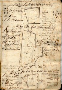
Llibre de nova recanació. Sketch of the lands. Register
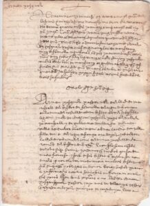
Certificate of single status of a boy from Occitania, France, 16th century, to be able to marry
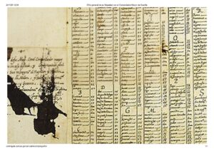
General encryption of the correspondence between King Philip II, the Royal Council and the viceroys of Naples and Sicily
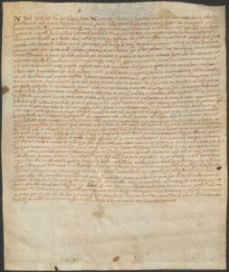
Nuptials between Esteve Vidal, bracer of the place of (Gabandugen), in the Kingdom of France, but living in Foixà, and Coloma (daughter of Antoni Puig, bracer of Sant Martí Vell, and Caterina).
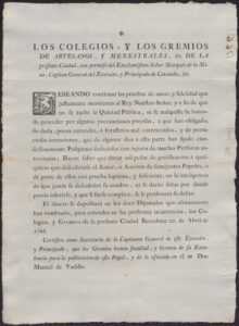
Notice from the Marquis de la Mina on the dissemination of seditious pamphlets, rewarding whoever gives information. 1766
Ledgers of the exchange table
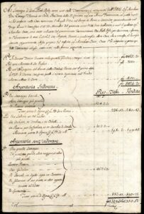
Inventory of goods of Llorenç Tomàs i Costa. 1741
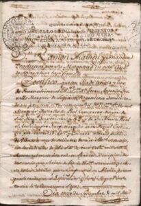
Testament and codicils granted in Vienna by Don Manuel Desvalls y d’Alegre, Marquis Desvalls del Poal in 1760.
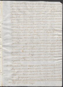
Criminal investigation into the thwarted kidnapping of Raimunda de Puiggener-Orís and Boïl d’Arenós by the Viscount du Blaisel and the maid Geneviève Faraud (1766).
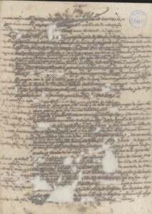
Instruction from Felipe II to Lluís de Requesens i Zúñiga so that he properly exercises the position entrusted to him as lieutenant of the captain general of the sea.
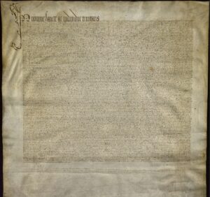
Consultation of builders and approval of the continuation of the Cathedral of Girona with a single nave
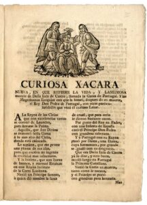
Curious Xacara nueva, in which it refers to the life and pitiful death of Mrs. Inés de Castro, called the Heron of Portugal.
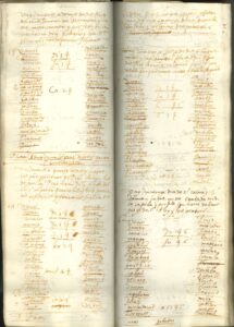
Canaler’s Book of 1609 (fragment)
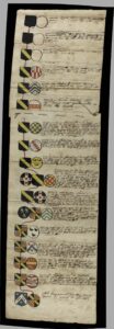
Genealogical tree of the Blondel family (France) until its junction with the Dubús family. XVIII century
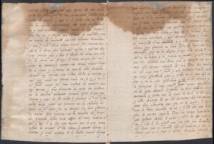
Trial of Pau d’Agullana and des Miquel, accused by the black Mònica of complicity in the poisoning of the treasurer Miquel Codina (1567)
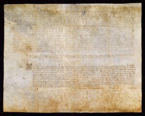
Marriage chapters of Berenguer d’Orís, maiden and lord of the castle of Orís; with Blanca, daughter of Macià de Brull, lord of Vallferosa castle, and Saurina. 1379, May, 8. Berga
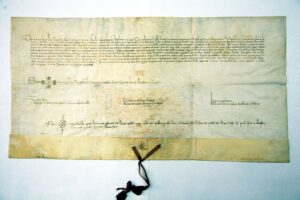
fair King Pere the Ceremonious grants the town of Tremp a fair for Santa Caterina and a fair for Sant Vicenç
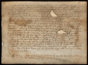
Receipt of the contribution for cooking Vimbodí to the coronation of King Joan I of Catalonia-Aragon
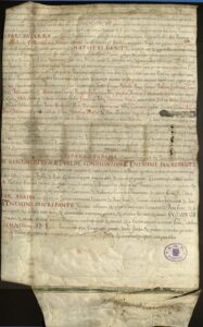
Decree appointing professors of the General Studies of Lleida
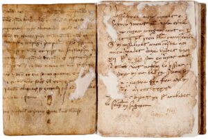
Book of notes by Pere Vallès about the butchery of Sant Cugat.
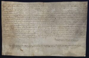
Agreement for the prices of issuing documents from the notary of the town of Albi
![Joan [de Baufés], bishop of Osca, consecrates the church and altar of Sant Pere [de Salàs de Pallars], by authority of Galceran [de Vilanova], bishop of Urgell.](https://catalunyapaisdarxius.cat/wp-content/uploads/2025/10/1073-CAT-XXX-BARCELONA-BIBLIOTECA-DE-CATALUNYA-Perg-475-Reg-1948_001-thumbnail-300x74.jpg)
Joan [de Baufés], bishop of Osca, consecrates the church and altar of Sant Pere [de Salàs de Pallars], by authority of Galceran [de Vilanova], bishop of Urgell.
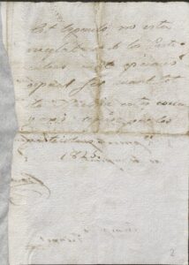
specular book
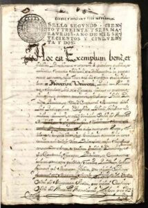
Arbitral ruling made by Il·lm.. Dª Catharina de Vilanova, prioress of the monastery of Alguayre on November 12, 1499. Copy of 1752
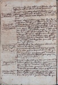
Book of privileges of the Town of Gironella
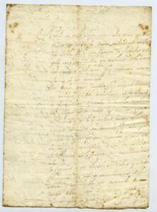
Letter from Ramon de Ferran i Biosca to Pere Anton Veciana, batlle de Valls, on 05/24/1725
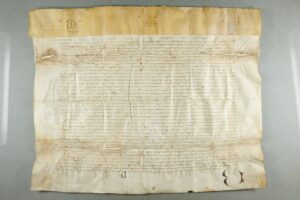
Communication from Benedict XIII to Francis Clement, apostolic nuncio, of the excommunication of the cardinals who elected Alexander V as pope
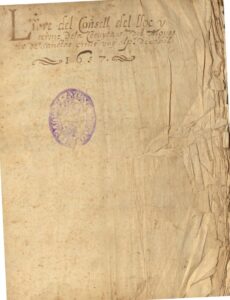
Book of the Council of the Retinue 1657-1681 (contains parchment from 1578)
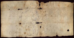
Privilege granted by King John II of Aragon in favor of Francesc de Verntallat, adviser and royal captain, with which he grants him the dignity of noble and the title of Viscount of Hostoles (1474, October, 23. Barcelona)
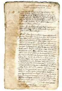
Inquisitio against Joana Parés, widow of France accused of witchcraft
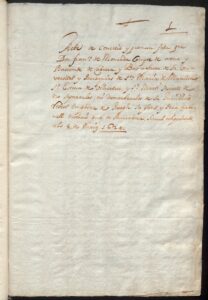
Francisco de Montcada, Count of Osona and Viscount of Cabrera i Bas, grants to the university and parishes of Santa Maria de Manlleu, Sant Esteve de Vilacetrú and Sant Martí Sescorts that he will never separate them from his jurisdiction
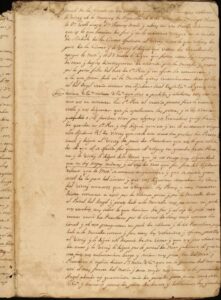
Memoirs of Honorat de Pallejà (1703-1713)
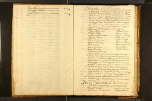
Book of sizes and determinations of the University of Cassà
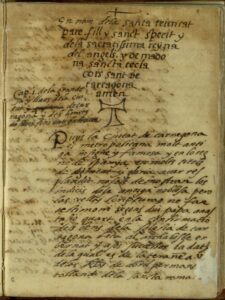
Cover of the Catalan manuscript of the Llibre de les grandeses de Tarragona, by Lluís Pons d’Icard, ca. 1564.
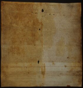
Census of the University of Miralcamp in favor of Pere Florent Llop, merchant, citizen of Lleida in 1583.
![Terms of sale of 6 mules and mules delivered by Joan de les Combes, merchant, from the place of Sant Irie [Sent Iriès/Saint Yrieix-la-Perche], diocese of Llemotges, to 5 farmers from the district of Olot i Batet.](https://catalunyapaisdarxius.cat/wp-content/uploads/2025/10/CAT-ACGAX-140-9-T2-8-_001-thumbnail-scaled-1-212x300.jpg)
Terms of sale of 6 mules and mules delivered by Joan de les Combes, merchant, from the place of Sant Irie [Sent Iriès/Saint Yrieix-la-Perche], diocese of Llemotges, to 5 farmers from the district of Olot i Batet.
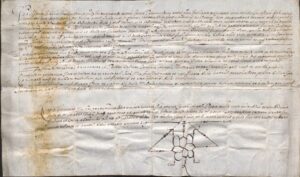
Sentence against Ramon Ratul, from the town of Millars, bishop of Elna, by which he is sentenced to be flogged, banished forever from said town and to serve three years in the king’s galleys (Millars. 22.10.1603)
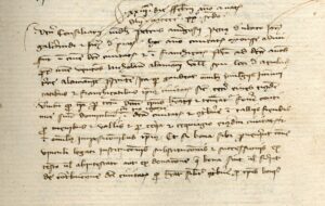
Payment of part of the municipal taxes to Nicolau Alamany, from the town of Embach, in German lands
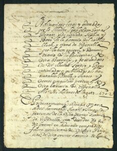
“Ordinances made and ordered by the illustrious Mr. Don Gaspar Berart y de Cortiada, lord and baron of the barony of the castle, place and district of Esponellà, for the good government and administration of the university of said barony…” (28.08.1702)

Edict against the plague
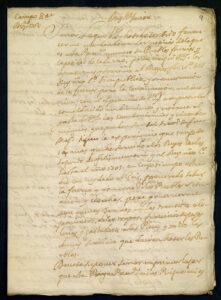
Draft of a letter from Josep Aparici advising how to act before the populations that have to render services to the king and the army and that, through excuses, try to avoid it.
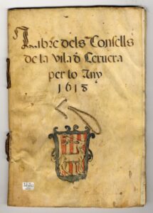
Advice book
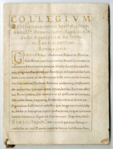
Doctor of Theology title granted to Victoró Lorida document issued in the Apostolic Palace of Sant Pere del Vaticano under the Papacy of Alexander VII.
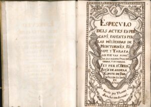
SPECULO OF 1764 OF THE MONTORNÉS LINEAGE
![Manuscript book of news from Catalonia, Western Europe and Christianity arranged alphabetically. [17th century]](https://catalunyapaisdarxius.cat/wp-content/uploads/2025/10/0909-ANC1-25-T-767_001-thumbnail-199x300.jpg)
Manuscript book of news from Catalonia, Western Europe and Christianity arranged alphabetically. [17th century]
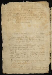
Judicial case for the murder of Pere Gil, before the court of Pontils Barnat Alió, under the jurisdiction of Elisenda de Cervelló.
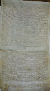
Agreement between the bishop of Urgell and the universities of the Honor of Galliner with the noble Ramon Roger d’Orcau on terms due to the employment
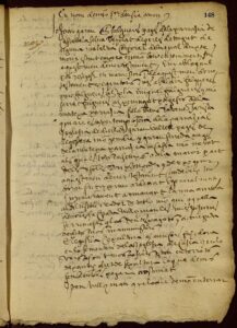
Primum manuale sive prothocollum testamentorum.
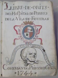
Book of obituaries of the Hospital de Pobres de Figueres
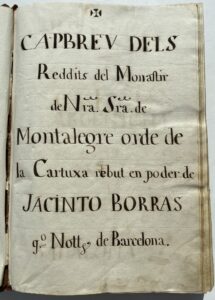
“Capbreu of the Monastery of Montalegre, of the Carthusian order, received in the possession of Jacinto Borràs, public notary of Barcelona, and of Antoni Pau Simon, royal notary, resident in the town of Mataró, and other notaries, in the year 1657”.
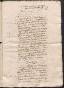
Accounting of two proclamations made in the county of Quirra, in Sardinia
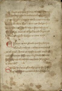
Hypiatry treatise
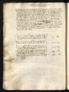
Insurance contract for the risk of death at the time of childbirth of a pregnant slave
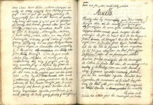
Instructions for teaching minions. I take second. Written by Rnt. Baldiri Rexach, prev. and Rr. of the parish church of Sant Martí de Ollés, Diocese of Gerona
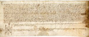
Testament of Pere Monegal from the year 1561
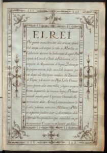
Privilege of Felipe V in which he frees the town of Manlleu from the transit of troops and the supply of straw, firewood, grains and other products.
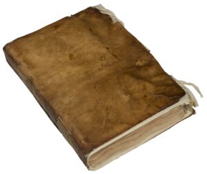
Book of the Remença Syndicate (1448)
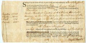
Contract of charter to transport goods from London to Barcelona, on board the ship Ruby, and bill of lading according to which Captain Joseph Forster has paid for the delivery of the cargo of wheat to Isidre Martorell, 17/03/1764-4/06/1764
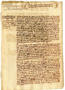
Concordia of the University, priests and beneficiaries, with Andrea de Fortunato, sculptor
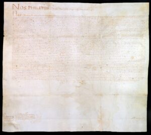
License granted by Didac Hurtado de Mendoza i de la Cerda, captain general in the principality of Catalonia, to trustees Jaume Bruguera, of Dosrius, and Joan Galceran, of Canyamars
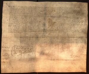
Appointment, by Emperor Charles V, of the nobleman Onofre de Boixadors, procurator general of the Duchy of Montblanc for life.
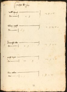
Manifesto of the Jews, in the love book of 1378
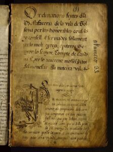
Book of Mustard.
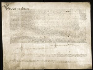
PARCHMENT 1437
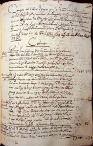
Berga Town Hall keyboard book
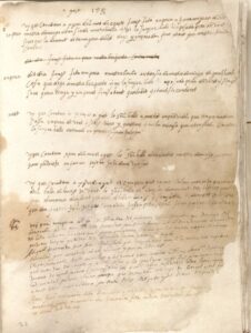
Book of the Court of the Royal Batlle of Conesa
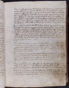
Book of the Chain
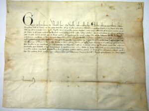
Uses and customs Pope Gregory XI confirms the uses and customs of the town of Tremp to prevent the population from emigrating
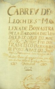
Capbrevation book of the place of Bonastre, bishopric of Barcelona, made in 1694
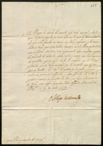
Leva of men of war for Italy
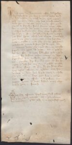
Sale of a Russian slave named Margarida granted by Francesc Ferrer, merchant of Barcelona, in favor of Pere Andreu, Catalan of Sant Feliu de Guíxols. 1432, October, 13. Venice (Rialto)
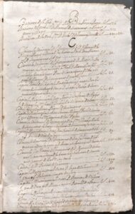
Specule of the house of Sentmenat, barons of Dosrius
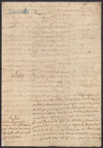
Capitulation of Cardona Castle signed by Colonel Manuel Desvalls and Vergós and the Count of Montemar (18.09.1714)
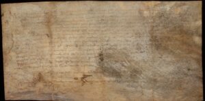
Receipt of Vimbodí’s contribution to the coronation of King Martí I (Martí the Human)
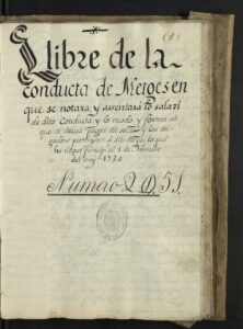
Cover of the “Book of the Conduct of Doctors”, from the 18th century. Various information comes out about the salaries and obligations of the doctors in the city of Solsona.
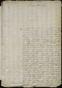
Letter from Josep Fontanella to the councilors of Barcelona
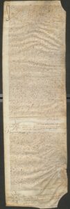
Nuptials between Magdalena (daughter of Esteve Puig, farmer of Sant Martí Vell, and of Coloma, his wife) and Felip Rei, stonecutter and master of houses (son of Joan Rei, carpenter of the parish of Pubola).
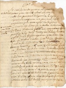
Memorial of the Batlle de la Bisbal on abuses by guards of the tobacco income in the Bisbal (female victims)
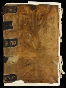
Book of the Sea Consul of Girona
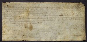
Epoch in concept of works carried out in the castle of Cassà de la Selva
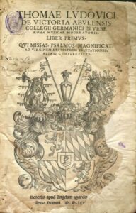
Thomæ Ludovici de Victoria abulensis… : Liber primus : qui missas, psalmos, magnificat ad Virginem Dei Matrem salutationes, aiaque complectitur
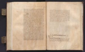
Capbreu of the baronies of Martorell, Molins de Rei, Santa Creu d’Olorda, Sant Andreu de la Barca and Sant Esteve Sesrovires d’Hipòlita Roís de Liori and de Montcada, countess of Palamós, widow of Lluís de Requesens de Soler.
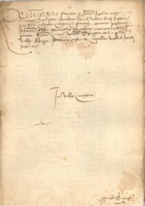
Complaint by Jaume Moxí, lieutenant of the batlle de la Vall de Lord, against Pere Joan Solan, of Coforb, for a rumor with Gaspar del Graner, of Berga, in terms of the castle of Capolat of the lower valley of Lord
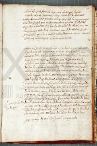
Call for submission to Osor at the request of the Marquis del Poal in the context of the War of Succession
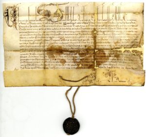
Bull of Pope Clement VIII
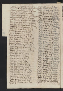
Book of sick tickets. 1484-1492
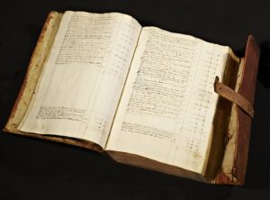
Ledger of the Exchange Table.
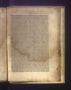
Guadalupe arbitration ruling promulgated by King Ferdinand II of Aragon ending the conflict between the lords and the farmers of Remença.
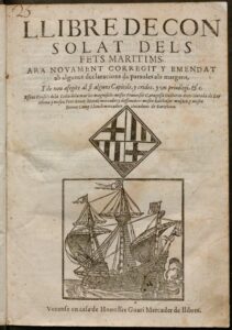
Consulate book of maritime facts now again corrected and amended with some declarations of words in the margins, and again added at the end some chapters, and calls and a privilege, &c.
![Indulgences granted in favor of Gaspar de Llupià, knight, Margarida Llupià, Lluís de Centelles and other characters from Barcelona [1513-1518]](https://catalunyapaisdarxius.cat/wp-content/uploads/2025/10/ANC1-1087-T-5167_001-thumbnail-300x220.jpg)
Indulgences granted in favor of Gaspar de Llupià, knight, Margarida Llupià, Lluís de Centelles and other characters from Barcelona [1513-1518]
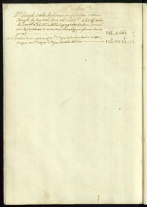
Ledger of the New Company of Gibraltar. 01.07.1709 – 20.05.1723
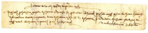
Italian bill of exchange
![Papal bull Pope Urban VIII License to marry Elisabet Vallmajor despite the 3rd degree of kinship with [Joan Galceran].](https://catalunyapaisdarxius.cat/wp-content/uploads/2025/10/ACM70-172-T2-113_001-thumbnail-300x212.jpg)
Papal bull Pope Urban VIII License to marry Elisabet Vallmajor despite the 3rd degree of kinship with [Joan Galceran].
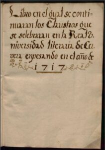
Minute book of the sessions of the Senate of the University of Cervera from 1717 to 1726
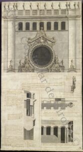
Finishing project for the baroque facade of Girona Cathedral, by Pere Costa
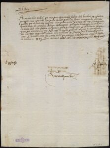
Letter from Charles I to the councilors of Barcelona
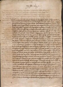
Letter in the form of a royal letter on the cancellation of the intention to raise the army against the Turks, addressed to the Viceroy of Catalonia Francesc de Borja and Aragon, Marquis of Llombai (16.03.1540. Madrid)
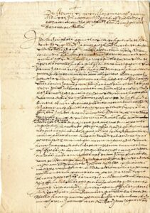
Six-month truce signed between Antoni Boer and Francesc d’Areny
Certificate from the archive of the Monastery of Sant Cugat.
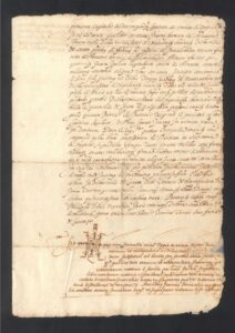
Transfer of privilege from Gastó de Montcada in 1599 to the university of Canet
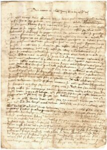
Testament of Gabriel Roig
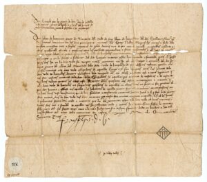
Letter from Joan de Beumont, lieutenant of Henry IV of Castile, Count of Barcelona, to the Captains of Banyoles.
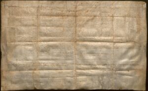
Transfer of the validation and signature by Queen Maria, wife and lieutenant general of Alfonso V, of some chapters made between her and the jurors and prohoms of the castle of Masquefa.
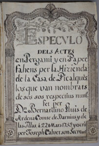
Speculum of the Wardrobe of Picalqués.
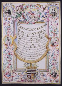
Letter of profession of Mrs. Francesca Sentmenat i d’Oms as a nun of the monastery of Sant Antoni and Santa Clara in Barcelona.
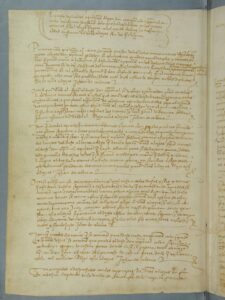
Capitulations of Santa Fe agreed between the Catholic Kings and Christopher Columbus on his projected voyage to the Indies.
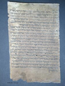
Mezuza of the house on Carrer de la Força, n. 15, in Girona’s Jewish Quarter
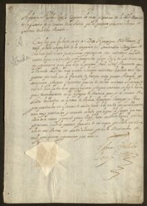
Certificate of honor and valor of the soldier Enric de Herrera i Tarsies for the help he gave in Lleida
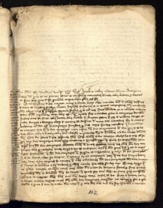
Formation of a company to import fabrics from Avinyó to Barcelona and Valencia.
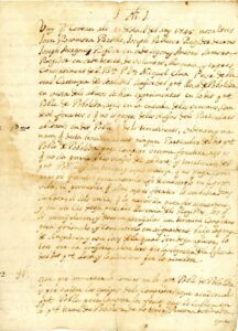
Time of Samuel Astruc Cavaller in the Falset juries
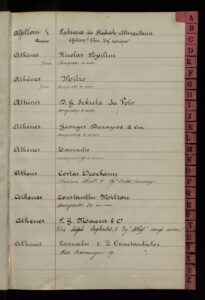
Address book of customers and agents (Germany, Czechoslovakia, Poland, Russia, Austria, …)
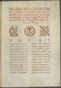
Catalonia under the protection of King Louis XIII of France
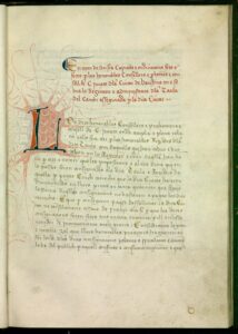
Ordinances of the Exchange Table of Barcelona
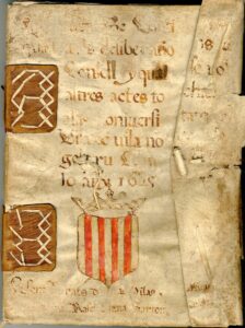
Council agreements
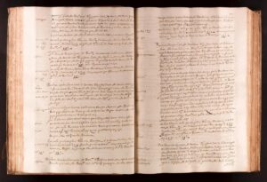
“Memorial, diary and summary of the acts of the heritage of the House of Icart…” 1543 – 1576