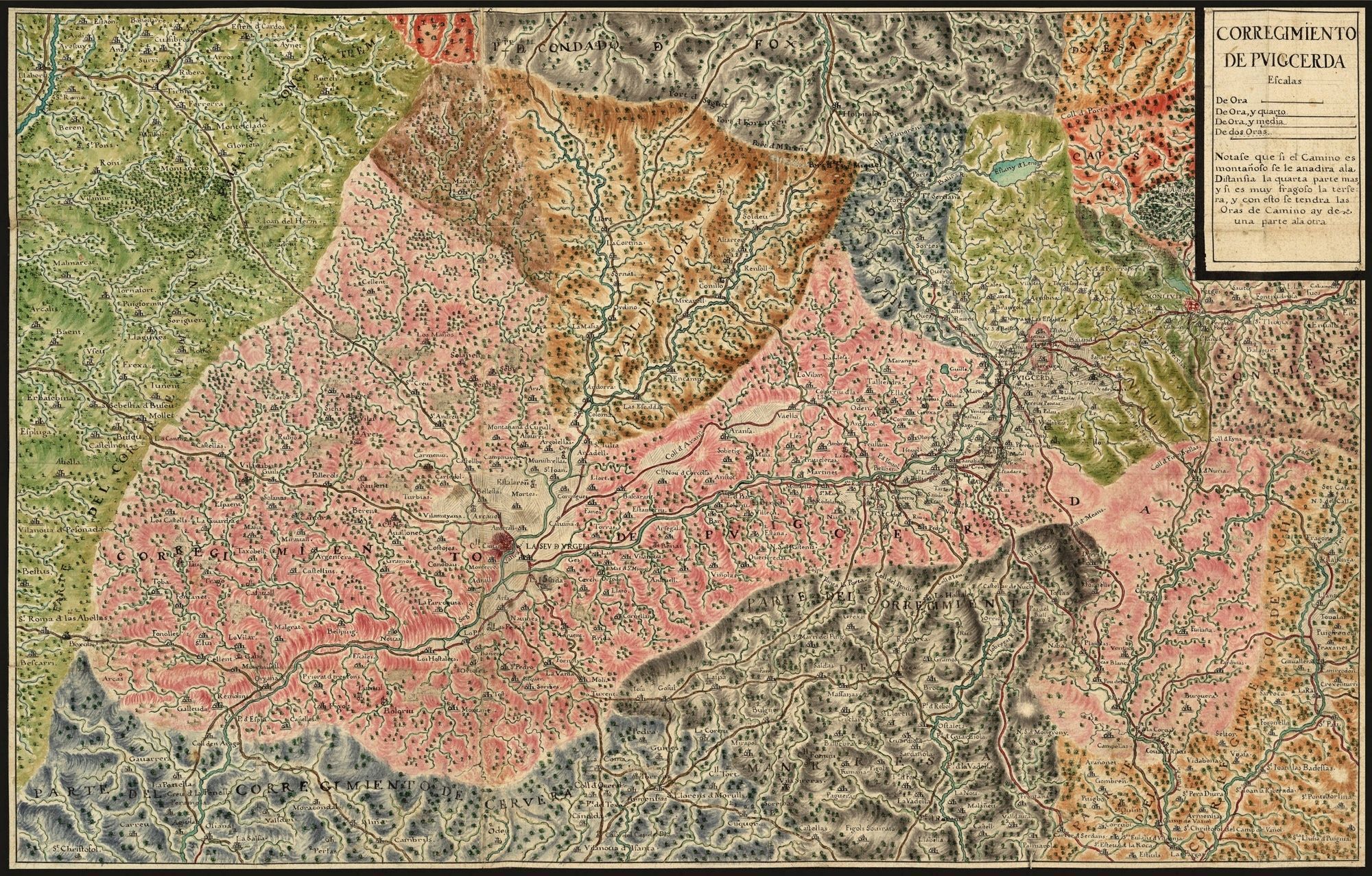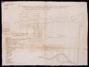
Plan of the part of the walls of Barcelona that face the monastery of Sant Antoni and Santa Clara de Barcelona.
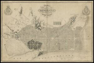
Plan of the surroundings of the city of Barcelona and its reform and expansion project by Ildefons Cerdà
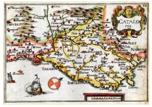
CATALOG/ girl Colorful map of Catalonia, with the orientation very tilted towards the bottom. It is part of the “Carte Generalle de la geographie royale”.
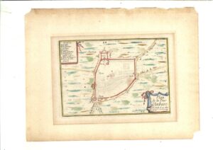
Plan and profile of Torredembarra
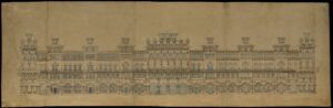
Main facade of the Hotel Internacional
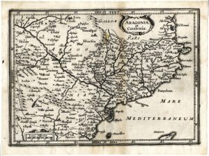
Map of Catalonia and Aragon
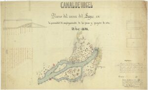
Plan of the flow of the Segre and project of a dam.
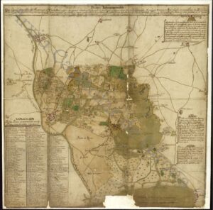
Ignográphico map of Castelló d’Empúries
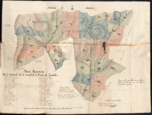
Geometric plan with the distribution in equivalent proportions that the partners of the “Sociedad la Unión de Escaladei” agreed on the lands owned by the society.
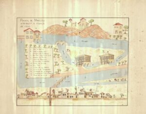
Plan of Manlleu attributed to the end of 1700
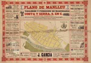
General Plan of Manlleu, edited by Talleres y Fundición de Maquinaria Costa y Cerra. Print Turns.
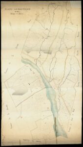
Geometric plan of the term of Llerona.
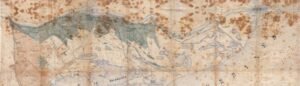
Map of the Ebro Delta. Extract from a protocol of the notary public Pau Anton Miracle and Baldrich from the year 1875. Scale 1:20,000.
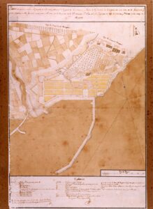
Plan showing the project of a new population in the part of the Marina and Port of the city of Tarragona.
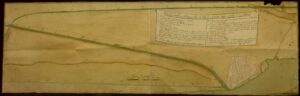
Amposta als Alfacs navigation project plan
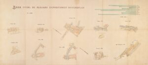
Comparative exhibition plan. Total area of some Universal Exhibitions.
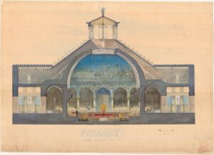
Paraninfo. Cross section
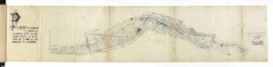
Project of a water mine in the valley of the Caldes stream, by Antoni Gaudí.
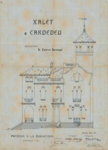
Plan of the villa project (main facade) owned by Esteve Barangé, architect Josep Maria Miró, in Cardedeu.
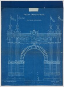
Final elevation of the Arc de Triomf. 1887. Josep Vilaseca
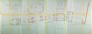
Plans of the Gran Casino de la Rabassada complex by the architect Andreu Audet i Puig.
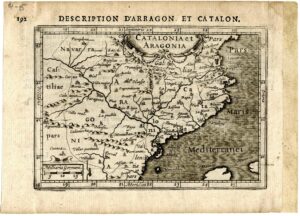
Map of Catalonia and Aragon, published in Bertius: “Tabularum geographicarum contractarum”.
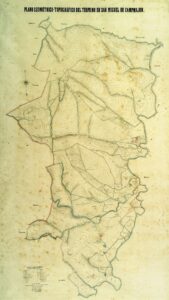
Geometric-topographic plan of the Sant Miquel de Campmajor area
Map relating to the different courses followed by the Llobregat river during the years 1080-1090
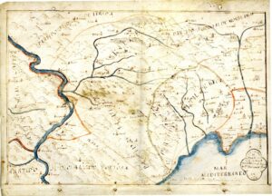
Plan of the judicial party of Falset
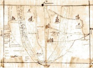
Plan of the estate of Francesc Parellada and its surroundings, in the area of Terrassa
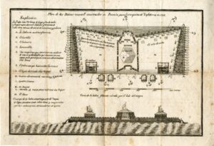
Plan of the rafts newly built in France for the conquest of England in 1798
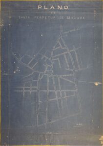
Map of the town of Santa Perpètua de Mogoda drawn up by school teacher Josep Jardí Domingo commissioned by the City Council
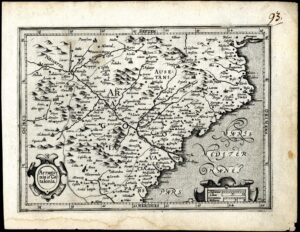
Map of Catalonia and Aragon. Possibly published in “Atlas minor” by Gerardus Mercator
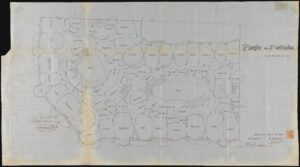
3rd floor plan of Casa Milà, known as La Pedrera. Antoni Gaudí
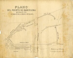
Plan of the Port of Barcelona proposed by Foment de la Producción Nacional
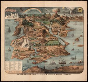
Map of physical geography
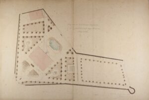
Plans and drawings of the remodeling project of the Joan Buxareu summer tower in Puigcerdà.
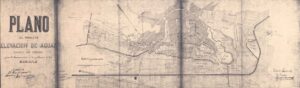
Plan of the Canal d’Urgell water elevation project to supply the town of Les Borges Blanques
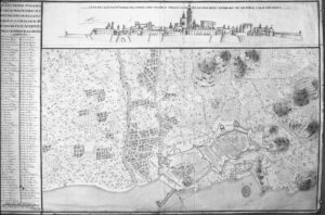
General plan of Tarragona
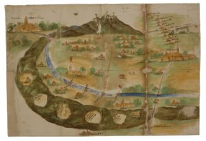
“Plant of said land of Vallespir” (Morbo. Ordinaciones de los jurados in the plague from 1630 to 1632)
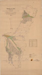
Map of the mountains called Bandolèrs-Dossau-Beret-Ruda-Aiguamoix, in the area of Salardú (Naut Aran)
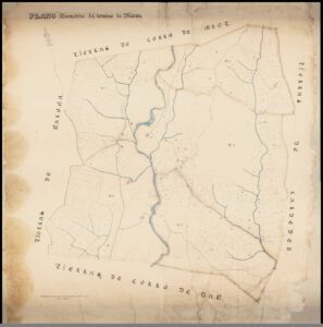
Geometric plan of the term of Marata.
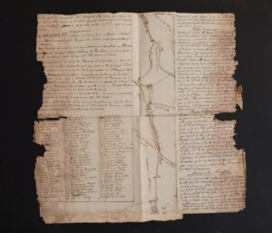
Topographical plan of the Corb river and its drains, towns and land through which the water passes from Coll de la Portella to Maldà, and to the Segre river when there are floodgates, 2ª m. 18th century
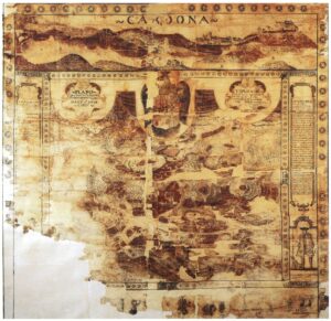
Plan of the castle and the salt pans of Cardona with the description of the work of starting the salt and the virtues of its mineral as one of the best salts of the Principality (sala one third more than todas las otras salas de Cathaluña).
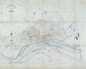
Geometric plan of the city of Lleida.
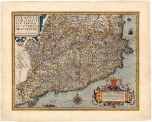
Colored map of Catalonia. Published in “Theatrum Orbis Terrarum” by Abraham Ortelius