- Date
- 1647
- Document type
- Mapes i plànols
- Reference code
- CAT-AMTo-Col. 01/03_ G_0005/01
- Description
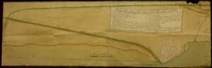
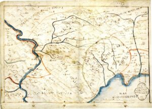
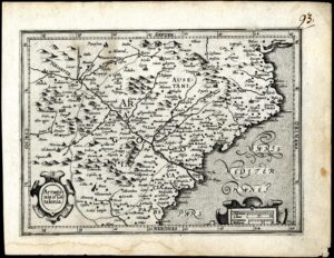
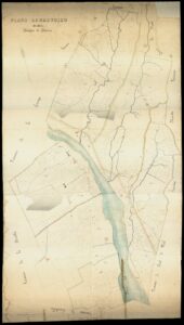
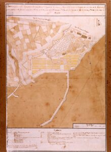
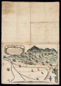
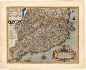
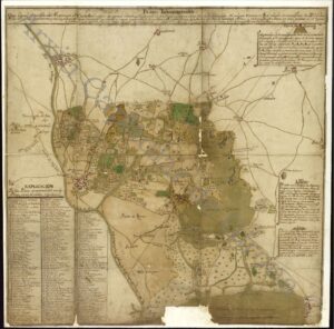
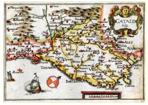
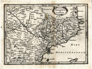
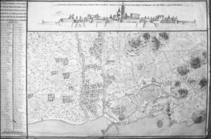
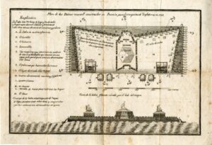
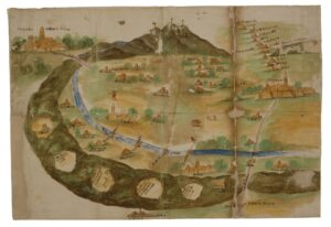
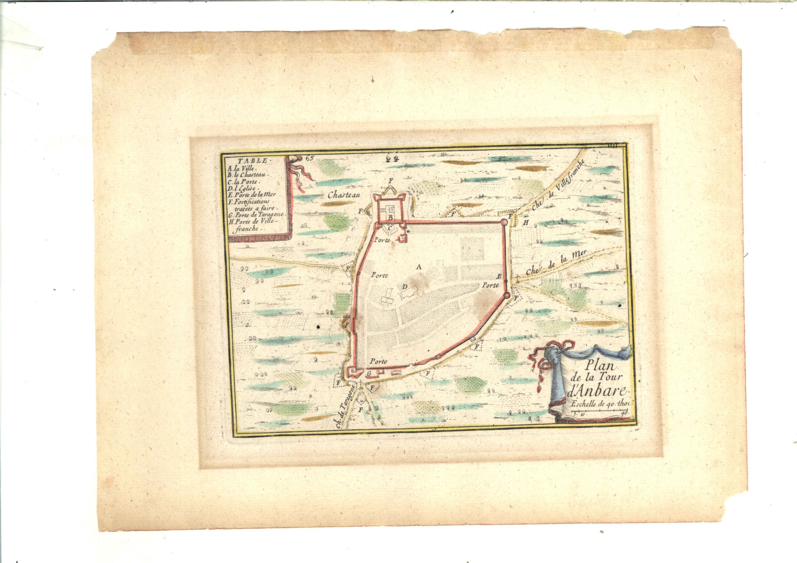
They are the first representations of Torredembarra. These are two illuminated engravings made by Sébastien de Pontault de Beaulieu (ca. 1612 – 1674), Lord of Beaulieu-le-Donjon and Knight of the Order of Saint Michael, known as the Knight of Beaulieu. He was field marshal and military engineer in the service of Louis XIV of France. He is considered one of the creators of military topography for the maps, plans of the terrain and of the fortifications of the battlefields that he drew, had engraved and printed for the king. .
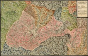
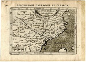
After his death, they were collected and published in collections by his niece, Reine des Roches Beaulieu, and her husband. Together with other collaborators, they extended the chronological scope until 1694, in the book entitled “Les plans et profils des principales Villes et lieux considerables de la Principaute de Catalogne. Avec la carte generale et les particuliers de chaque gouvernement. A Paris par le Chevalier de Bealiueu, rue de St. André des Arts Porte de Bucy Avec privé (post 1678)”. The book contains 87 plates engraved and numbered by hand, of views, fortifications of Catalan cities and towns, in addition to a general map of Catalonia and 12 maps of small territorial areas, from where the present engravings come, numbered 65 and 66.