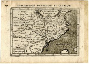
Map of Catalonia and Aragon, published in Bertius: “Tabularum geographicarum contractarum”.
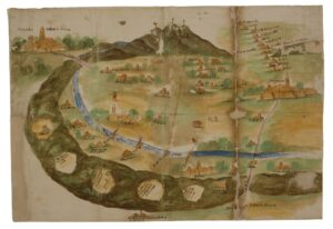
“Plant of said land of Vallespir” (Morbo. Ordinaciones de los jurados in the plague from 1630 to 1632)
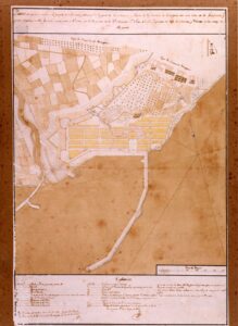
Plan showing the project of a new population in the part of the Marina and Port of the city of Tarragona.
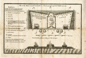
Plan of the rafts newly built in France for the conquest of England in 1798
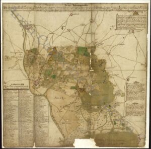
Ignográphico map of Castelló d’Empúries
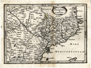
Map of Catalonia and Aragon
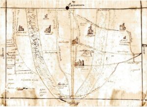
Plan of the estate of Francesc Parellada and its surroundings, in the area of Terrassa
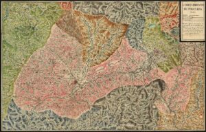
Corregimiento de Puigcerda
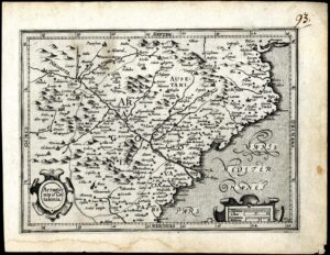
Map of Catalonia and Aragon. Possibly published in “Atlas minor” by Gerardus Mercator
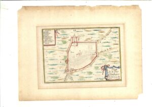
Plan and profile of Torredembarra
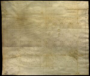
Parchment with the trace of the Strozzi palace in Florence
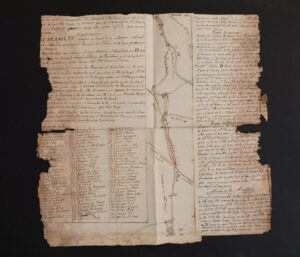
Topographical plan of the Corb river and its drains, towns and land through which the water passes from Coll de la Portella to Maldà, and to the Segre river when there are floodgates, 2ª m. 18th century
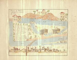
Plan of Manlleu attributed to the end of 1700
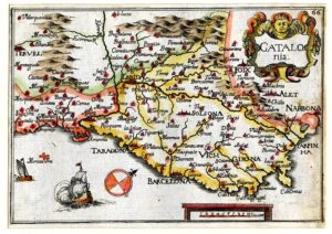
CATALOG/ girl Colorful map of Catalonia, with the orientation very tilted towards the bottom. It is part of the “Carte Generalle de la geographie royale”.
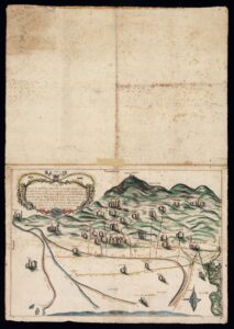
Map relating to the different courses followed by the Llobregat river during the years 1080-1090
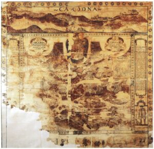
Plan of the castle and the salt pans of Cardona with the description of the work of starting the salt and the virtues of its mineral as one of the best salts of the Principality (sala one third more than todas las otras salas de Cathaluña).
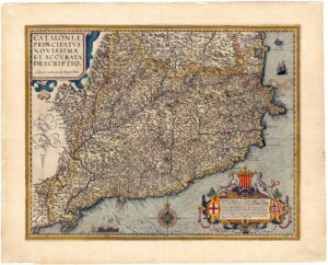
Colored map of Catalonia. Published in “Theatrum Orbis Terrarum” by Abraham Ortelius