- Date
- 1631 - 1632
- Archive
- Municipal Archive of Girona
- Document type
- Mapes i plànols
- Reference code
- CAT-AMGi-1-012094
- Description
The document is an example of how phenomena of European scope affect local communities. In this case, the strategies that many local communities took in the face of medieval and modern plague outbreaks, epidemics that knew no borders. In addition to the demographic ravages they brought, the measures to deal with the plagues of the mid-seventeenth century altered and interrupted commercial exchanges and the movement of people throughout Europe.
That plague outbreak had spread across Europe between 1629 and 1632 and affected mainly the south of France and the north of the Italian peninsula. Although that epidemic did not cross the Pyrenees, the measures taken by the local Catalan authorities greatly affected trade and the movement of people between the two sides of the Pyrenees, areas that were part of the same territory until the Treaty of the Pyrenees in 1659.
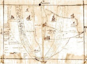
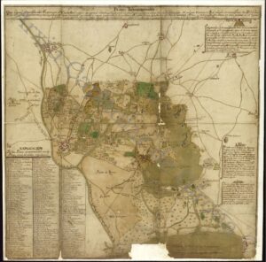
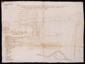
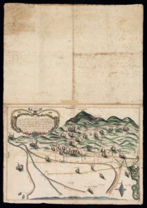
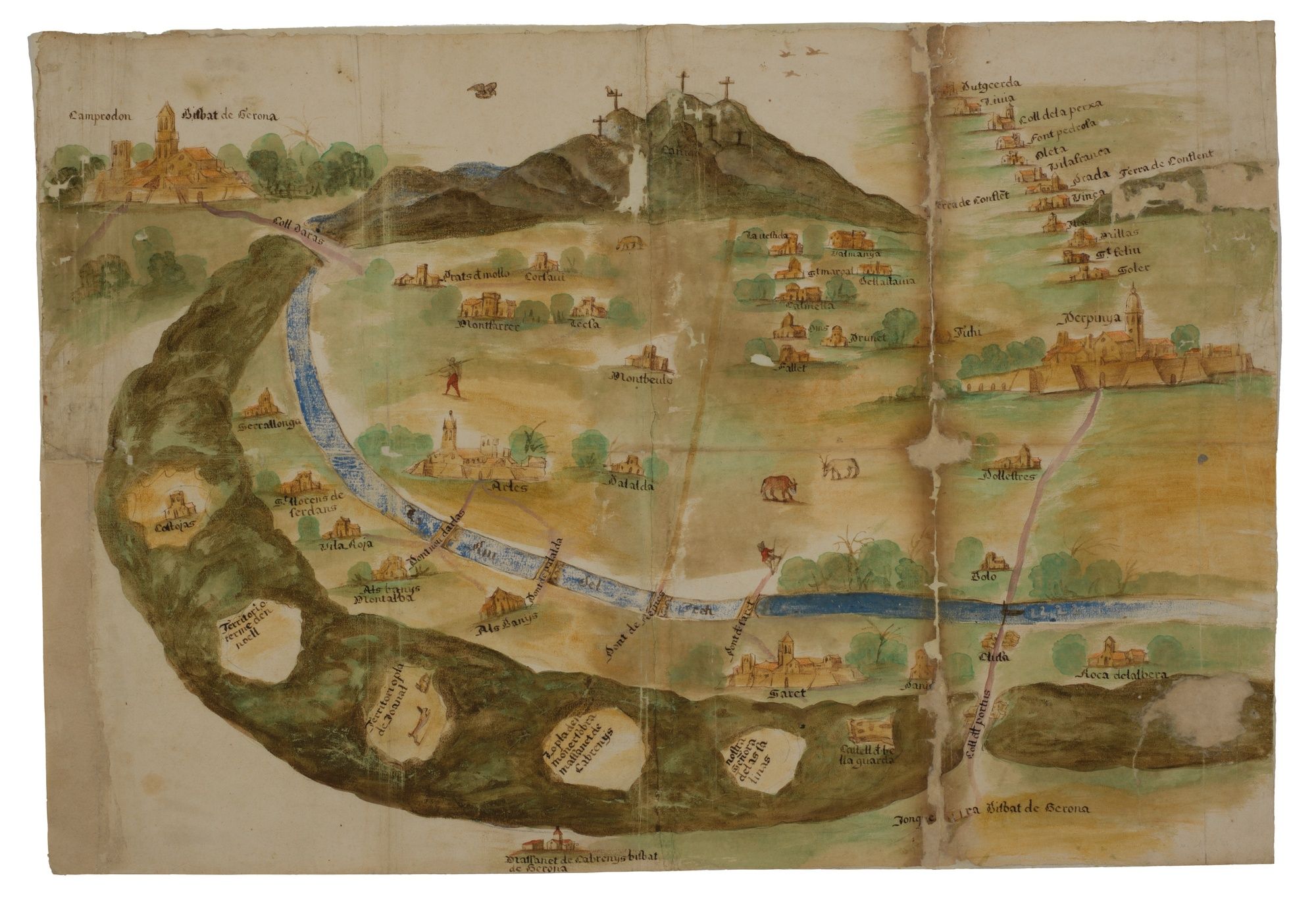
The document is a plan or colored drawing made between the end of 1631 and the beginning of 1632 of the region of Vallespir and its surroundings. Specifically, from the lands located at the foot of the Pyrenees, flanked by the Alberes and the Canigó, between the Pertús pass and the Ares pass, to the south, and Conflent and Cerdanya, to the northwest.
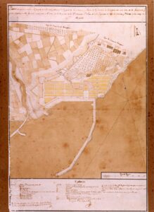
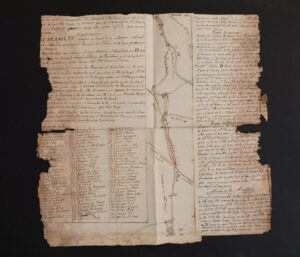
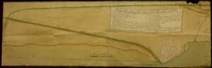
Two copies are preserved at the AMGi, one of which was to be sewn into the book of the Junta de Morbo, as reported in the related minutes. This register contains all the deliberations and letters sent by the Girona juries following the plague of 1630 and 1632. The second copy may correspond to a copy for the City Council itself, or the one that had to be attached to the memorial sent to the trustee in Barcelona. The aim was for the Sindic to inform the viceroy, councilors and deputies about the progress of the plague in order to take the necessary measures.