Water resources at the service of society
Water resources have played a central role in Catalan society, from medieval irrigation systems to the great works of the 20th century. Water has sustained agriculture, fueled industry and guaranteed urban supplies, with management that has evolved according to historical needs. Tensions over access to and distribution of this resource reflect its strategic importance, while modern infrastructures have consolidated its role as a collective service. This use demonstrates planning aimed at well-being and progress. Canals and reservoirs transformed the landscape, especially in dryland areas. Cooperation between communities was essential for its management, often with conflicts resolved administratively.
Topographic map of the Corb river and its canals, villages and lands
1761
This topographic map documents the course of the Corb River and its canals, detailing the affected territories and water rights in a context of manorial disputes. This accurate cartographic representation, which shows where the water passed from Coll de la Portella to Maldà, and to the Segre River when there were floods, facilitated the management of the area’s water resources.
La Segarra County Archive
Segre flow map and dam project
1877
Map showing the flow of the Segre River and the project for a dam, reflecting the efforts to manage and exploit the water resources of the Pla d’Urgell during the second half of the 19th century. This infrastructure intended to regulate water was a vital resource for agriculture and the sustainability of the area. It is a document of hydraulic engineering from the 19th century and at the same time its impact on the territorial development of the region.
Pla d’Urgell County Archive
Plan of the water elevation project of the Canal d’Urgell to supply the population of Les Borges Blanques
1891
This plan, prepared by the architect Agapito Lamarca, presents the project to raise water from the Canal d’Urgell to supply the town of Les Borges Blanques. It was an infrastructure intended to guarantee the supply of water as an essential resource not only for the daily life of people but also for the economic activity of the town.
Les Garrigues County Archive
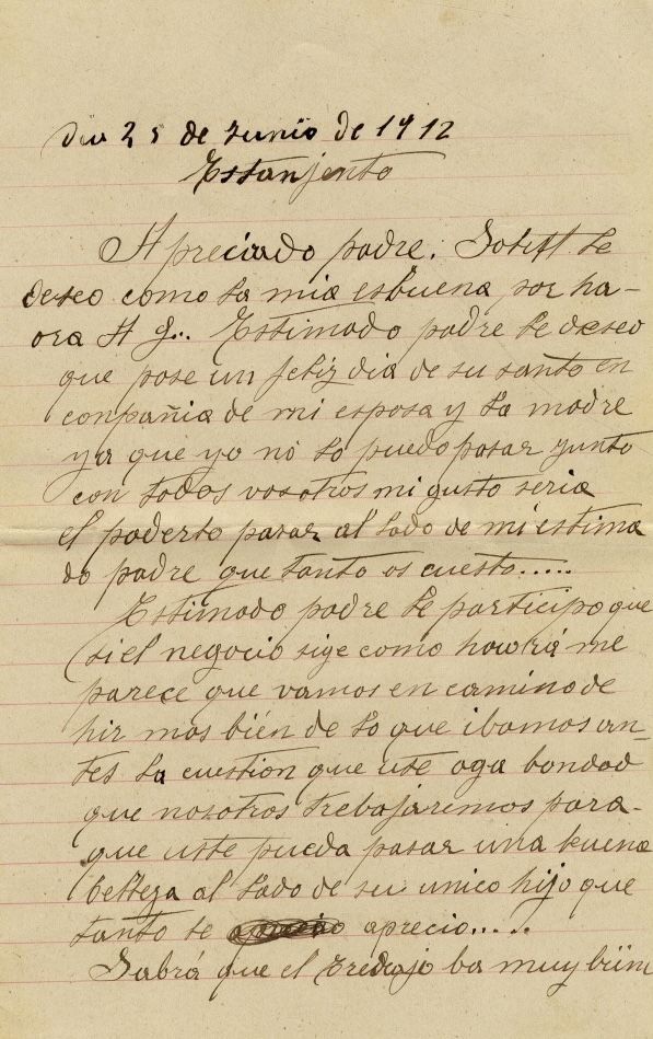
Letter from Leonardo Vidal about his work at the Estany Gento dam
1912
This letter, written in 1912 by Leonardo Vidal to his father Pere Vidal Gallart, recounts his work at the Estany Gento dam during the beginning of the works of the Capdella Hydroelectric Power Plant, built by “Energía Eléctrica de Cataluña”. It is a personal testimony of the construction of a pioneering hydraulic infrastructure that took advantage of the water resources of the Pyrenees to generate energy, contributing to the energy modernization of Catalonia within the framework of the second industrial revolution.
Pallars Sobirà County Archive
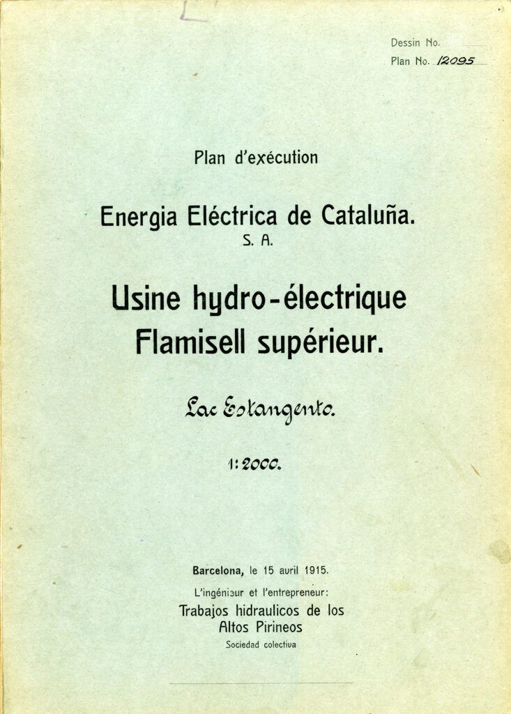
Estany Gento Dam Hydroelectric Factory Project
1915
Document that includes the project for the Estany Gento dam of the Capdella Hydroelectric Power Plant, which was the first large Catalan power plant. Built under the direction of the French engineer Leon Mounaille and the Swiss company Locher & Cie, this installation was a pioneer in Europe due to the magnitude and difficulty of the works.
Pallars Jussà County Archive
Photocomposition of the Magic Fountain
1929
Photocomposition showing the Magic Fountain, by Carles Buïgas, an iconic element of the 1929 Barcelona International Exhibition. The fountain, integrated into the transformation works of Montjuïc, symbolizes the use of water as an aesthetic and technological resource and at the same time a symbol of progress in the 20th century.
Barcelona Municipal Archive
Map of the water distribution network of the city of Les Borges Blanques
1931
This plan, made in 1931 by engineer Mias at a scale of 1:2000, represents the water distribution network in Les Borges Blanques. It shows a detailed vision of a water management system essential for the supply of the population and socio-economic development, offering a technical vision of how access to water was planned during a period of modernization in Les Garrigues during the Republican Generalitat.
Les Garrigues County Archive
Map of the comprehensive use of rivers in application of the Republican Hydraulic Plan
1936
This map, drawn up in 1936 at a scale of 1:200,000 and signed by the engineer Victoriano Muñoz, is part of the Hydraulic Plan of Catalonia and documents the comprehensive use of Catalan rivers. Integrated in a collaboration between various departments of the Generalitat, with special emphasis on irrigation as a tool to improve economic and social conditions.
Infrastructures of the Generalitat of Catalonia
Map of the irrigation area of the Ter, Fluvià and Muga basins
1950-1955
This map is part of a collection of 432 cartographic units at a scale of 1:2000 drawn up between 1950 and 1955 by the Institut Desembocadura del Ter. It represents the irrigation area of the Ter, Fluvià and Muga river basins and was drawn up following the entry into operation of the Sau-Susqueda dams, as one of the strategic hydraulic planning actions to compensate irrigators for the alteration of the Ter flow in the context of the Francoist development plans of the mid-20th century.
Girona Historical Archive